2.4 Navigation Application
Course Objectives
In this section, you will learn overview of the navigation applications. By the end of this section, you should be able to:
- Understand the navigation application to choose
- Understand what is Maps.me and OSMAnd
Learning Activities
Several mobile applications exist to assist with field navigation using OpenStreetMap as a baselayer and functioning offline for low-connection environments. Options include OSMAnd and Maps.me. While navigation tools are not required for data collection, they can be extremely useful for data collection teams in navigating to field locations, as well as for supervisors and project managers to understand where their teams have been.
Additional benefits of navigation applications include:
- Collecting GPX tracks: GPX tracks can be used to record field movement as well as recording highway and road routes for later digitization and upload to OSM.
- Adding KML files: Adding point layers to a navigation map can help field mappers navigate to specific locations or survey blocks that are not in OSM.
Choosing a Navigation Application
| I want to.. | Maps.me | OSMAnd |
|---|---|---|
| Use OSM data to find my location | ✅ | ✅ |
| Find my location offline | ✅ | ✅ |
| Add kml files for navigation guidance | ✅ | ✅ |
| Record GPX tracks | 🟡(require additional steps outside the phone) | ✅(via add plugin) |
| Add data to OSM within app | ✅ | 🟡(require additional plugins) |
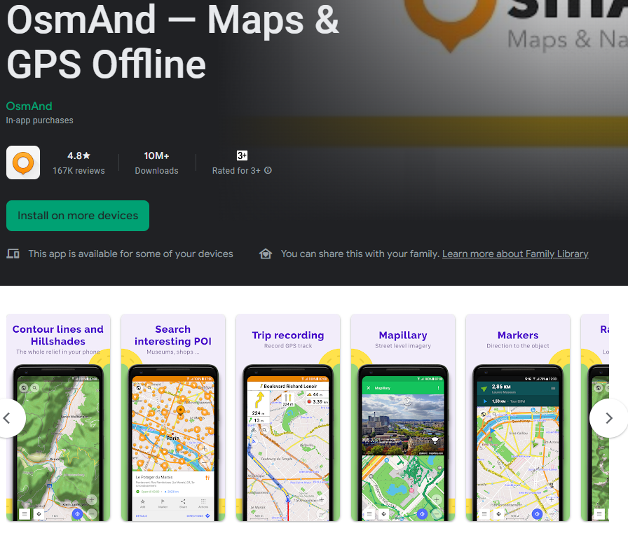
OSMAnd
OSMAnd is a global mobile map viewing and navigation app for online and offline OSM Maps. It is used for recording tracks as well as mapping features. It provides easy way to record and submit information in the field. It runs on Android and capable to operate with/without internet connection. You can download OSMAnd in here: https://play.google.com/store/apps/details?id=net.osmand&hl=en_US.
Maps.me
Maps.me is a navigation application that uses OpenStreetMap data, and can be used offline. It is suitable for collection Point of Interest (POI) information, as far as these fit within the types of data that Maps.me shows you on the map. It runs on Android/IOS and capable to operate with/without internet connection. You can download Maps.me in here: https://play.google.com/store/apps/details?id=com.mapswithme.maps.pro&hl=en_US.
Additional Considerations
When downloading applications to be used by large numbers of individuals, managers should consider:
- Downloading the apk files prior to installation. These are offline files that can be shared between users and allow for offline installation.
- For Maps.Me, share basemaps with an offline file rather than requiring each user to download an entire basemap (i.e. Liberia, northern Botswana) on data or wifi. To get an offline map file, you will need to download the map to one device. Plug the device into a computer and navigate to the file folder. The basemap file in this folder can be copied and pasted to the appropriate file in other devices.
[Quiz] Check Your Knowledge
-
You can use Maps.me if you want to collect information such as GPX track, OSM data, and waypoints.
a. True
b. False
Answer: 1. B
Activity Checklist
By the end of this section, you should be able to:
- Choosing the right navigation application based on requirements on the field
Additional resources
Presentation:
Additional information:
- OSMAnd tutorial: https://learnosm.org/en/mobile-mapping/osmand/.
- OSMAnd Wiki: https://wiki.openstreetmap.org/wiki/OsmAnd
- Maps.me Wiki: https://wiki.openstreetmap.org/wiki/MAPS.ME.