2.0 Introduction to Technical Set-up for Field Mapping
In this section, Project Managers will find tools and resources to determine which data collection tools are appropriate and how to navigate the technical steps needed to prepare for a field mapping project including:
- Presentations and step-by-step guides for developing a data model suitable for uploading to OpenStreetMap
- Resources for determining the correct mobile data collection, navigation applications, and server options for your project
- Detailed guides and resources for setting up applications such as ODK Collect
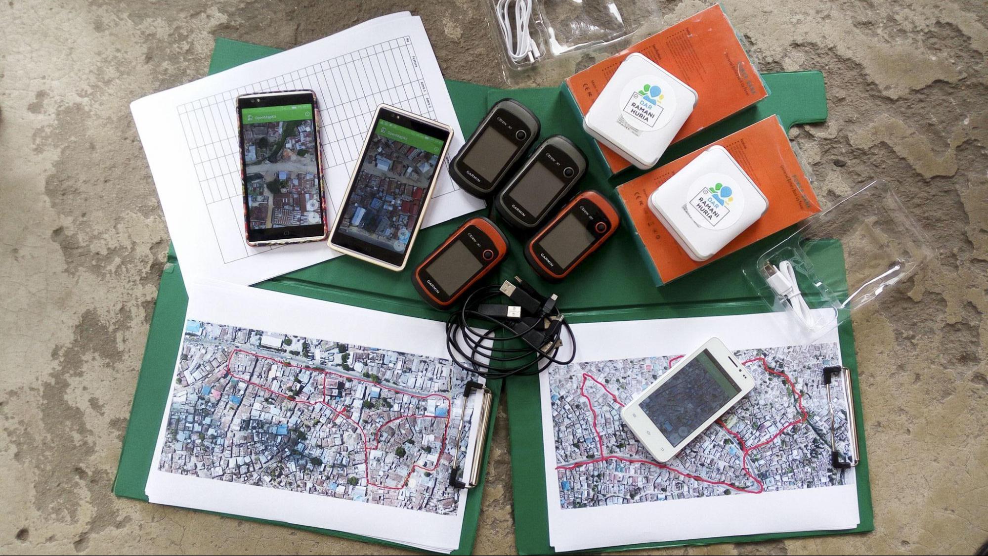
Any field project will require some degree of Field Mapping Technical Set-Up regardless of the complexity of the data collection workflow. This section is designed to guide project managers and community members through the decision making process to determine what tools and steps are necessary for their specific project. Many technical guides exist on setting up and using specific tools such as ODK Central. To support project managers effectively, step-by-step guides are provided for some tools and processes where external documentation is lacking or HOT has previously created tailored materials. For tools and processes with quality guides and materials outside of HOT resources, external links have been provided.
- Designing the Data Model covers the workflow and tools needed to develop a data model for OSM data collection.
- Data Collection Applications provides guidance on selecting the appropriate data collection application for your project. Sub-pages also provide detailed instructions and resources on setting up specific tools such as ODK.
- Navigation Applications provides an overview of navigation applications and how they can be used by project managers for their project.
- Data Collection Servers provides guidance on determining if a server is necessary for your project and selecting the appropriate server for based on data and resource needs.
- Overview Data Collection Using ODK Collect provide brief explanation on using ODK Collect for field data collection.
- Creating XLSForm for ODK provides guidance on how to create a XLSForm for ODK Collect or other ODK-based applications (i.e. Kobo Toolbox).
- Setting up Field Mapping Tasking Manager provides guidance on HOT’s new tool to support field mapping, a Field Mapping Tasking Manager.
- Creating MBTiles for ODK Collect provides guidance on building a mbtiles to support offline mapping activities.
The following presentation(s) can be used to lead a training or workshop: