1.0. Introduction to Designing a Field Mapping Project
Overview
In this section, Project Managers will find guides, tools and resources to design a mapping project including:
- Considerations and question guides for determining project factors such as scope, scale, and logistics;
- Resources for selecting hardware;
- Guides and materials for planning workshops/trainings.
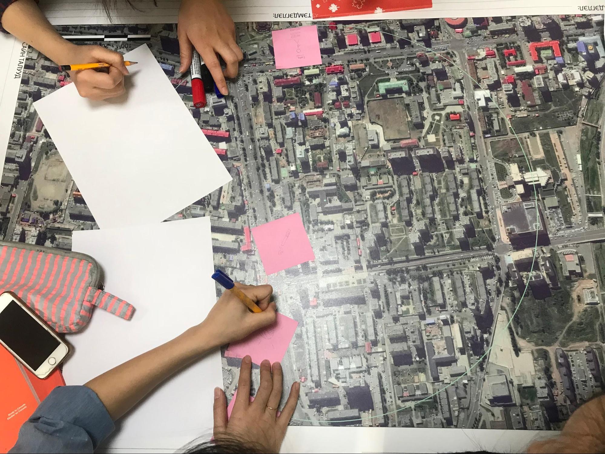
- 1.1 Defining Needs and Requirements poses questions to answer when defining the scope of the project, such as purpose, geographic scale, and what features to map, as well as ensuring that the project takes into account the various contexts and stakeholders involved in the project.
- 1.2 Safety and Security contains guiding questions to help plan for project logistics and security concerns. As all field operations involve some level of risk and can involve many moving parts, it is vital to conduct a safety, security, and logistics review before beginning field work on any project, regardless of experience.
These first two sections provide guiding questions and considerations, however, it is important to understand that each project will have different variables that might not be covered. When designing a project, be sure to use past experience, consult with other organizations, and meet with stakeholders to ensure that you are covering all variables.
- 1.3 Selecting Hardware provides a guide on the various hardware, such as phones and laptops, that could be needed for a project. Additionally, HOT has provided lists of specific models that have been used in HOT field projects that have proven suitability.
- 1.4 Trainings and Workshops covers the requirements for running trainings as well as providing resources such as example agendas and materials to provide.
Further resources and reading
In addition to this Toolbox, there are several guides that were developed to help teams in the project planning process, some of which were borrowed from to develop this Toolbox.
- Open Mapping for the SDGs - Humanitarian OpenStreetMap Team (HOT) published a guide for launching and growing open mapping initiatives at the national and local levels to achieve the Sustainable Development Goals (SDGs). This guide can be found at: https://hotosm.github.io/gpsdd-documentation/
- Open Cities Project Guide - the World Bank Global Facility for Disaster Reduction and Recovery (GFDRR) and Humanitarian OpenStreetMap Team (HOT) published a guide that can be downloaded at http://www.opencitiesproject.org/guide/.
- Participatory Mapping Toolkit - Humanitarian OpenStreetMap Team (HOT) published a guide for open mapping projects in the context of refugees. The full toolkit can be downloaded at https://www.hotosm.org/downloads/Toolkit-for-Participatory-Mapping.pdf